1.背景
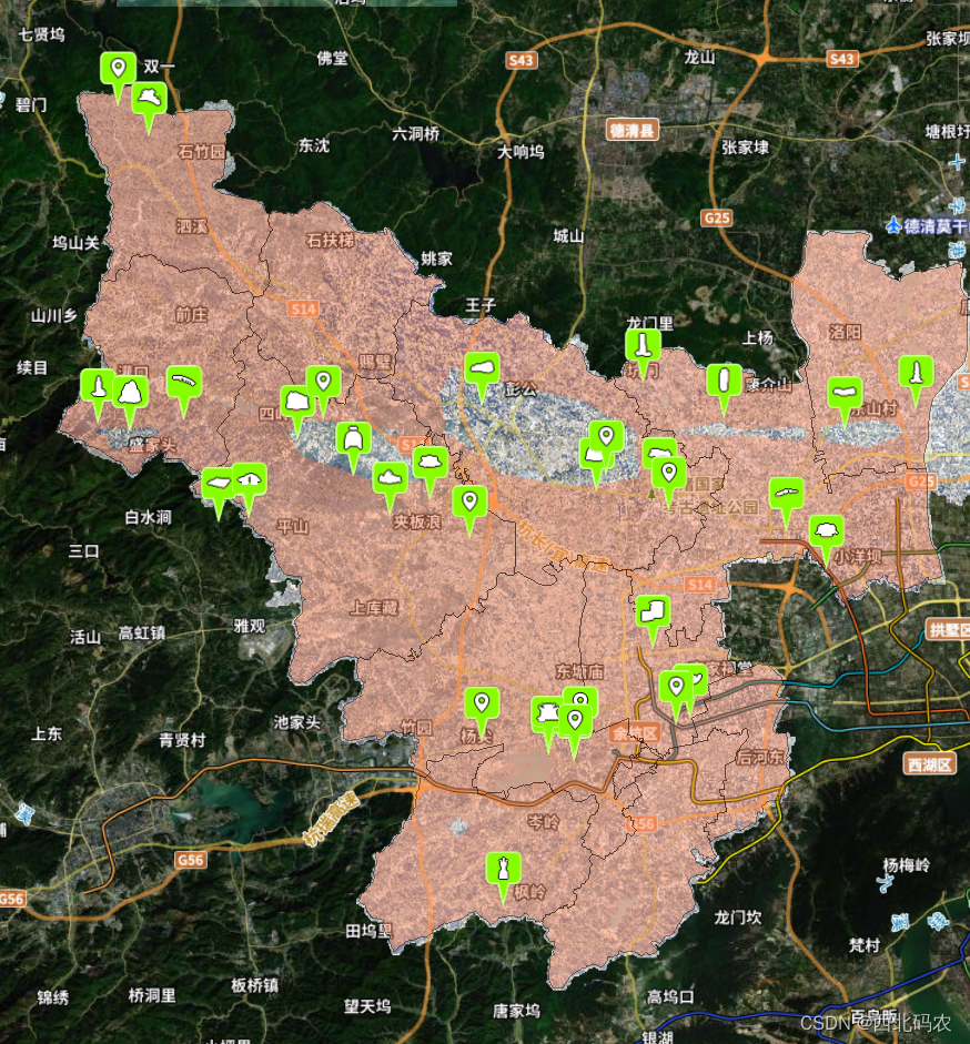
cesium加载geojson面数据后,有部分数据在地形下面显示不全, 加了clampToGround: true,设置贴地后,边界又不见了
this.viewer.dataSources.add(GeoJsonDataSource.load('http://xx/xzbj.geojson', {
            stroke: Color.BLACK.withAlpha(0.5),
            strokeWidth: 2.3,
            fill: Color.CORAL.withAlpha(0.4),
            //clampToGround: true
        })).then(data => {
            this.perLayer = data;
            //this.viewer.zoomTo(this.perLayer)
        });
2.解决
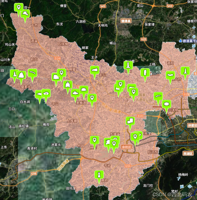
添加polygon实体后,设置outline属性。但是当height属性不设置时,会发现边界线不显示了。这边可以通过再绘制一个polyline实体来作为边界线,代码如下:
 var positions = entity.polygon.hierarchy._value.positions;
    this.viewer.entities.add({
        name: 'boderLine',
        polyline: {
            positions: positions,
            width: 2,
            material: Color.BLACK.withAlpha(0.5),
            clampToGround: true
        }
    })
3.其他
(1)加载geojson 设置不同面颜色和高度

var m =this;
CesiumMath.setRandomNumberSeed(0);  //设置随机数种子
var promise =GeoJsonDataSource.load('http://xxx/g_xzbj.geojson'); //geojson面数据
promise.then(function(dataSource) {
  m.viewer.dataSources.add(dataSource);
  var entities = dataSource.entities.values;
  var colorHash = {};
  for (var i = 0; i < entities.length; i++) {
       var entity = entities[i];
       var name = entity.id;  //geojson里面必须得有一个name属性,entity.name对应
       var color = colorHash[name]; //可以使两个同名要素使用同一种颜色。。。
       if (!color) {
            color = Color.fromRandom({
               alpha : 1.0
            });
            colorHash[name] = color;
       }
       entity.polygon.material =  color;
       entity.polygon.outline = false;
       entity.polygon.extrudedHeight = Math.floor(Math.random()*500+1000)
       //1000~500的随机数,单位是米
       m.viewer.zoomTo(promise);
  }
});